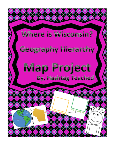
This worksheet allows students to cut out the bottom portion with the four images of Wisconsin, Unites States, North America, and the Western Hemisphere and see the relationship between them. Students will then glue each image in the spaces provided on top. This easy and fun worksheet allows students to connect difficult concepts in a visual hands-on way. It can be easily adapted as independent work, a hook, group work or homework. Students will enjoy engage with this interactive project and will build conceptual understanding of geography while doing so!
This worksheet allows students to cut out the bottom portion with the four images of West Virginia, Unites States, North America, and the Western Hemisphere and see the relationship between them. Students will then glue each image in the spaces provided on top. This easy and fun worksheet allows students to connect difficult concepts in a visual hands-on way. It can be easily adapted as independent work, a hook, group work or homework. Students will enjoy engage with this interactive project and will build conceptual understanding of geography while doing so!
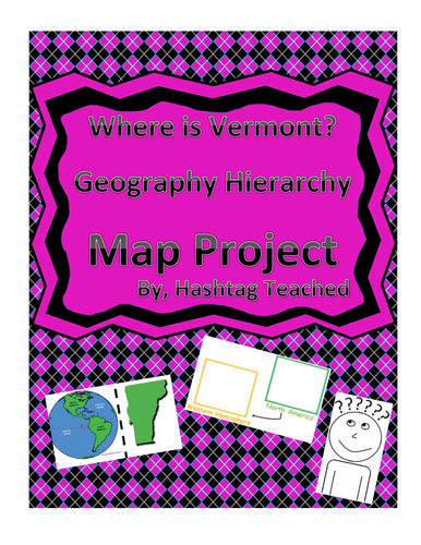
This worksheet allows students to cut out the bottom portion with the four images of Vermont, Unites States, North America, and the Western Hemisphere and see the relationship between them. Students will then glue each image in the spaces provided on top. This easy and fun worksheet allows students to connect difficult concepts in a visual hands-on way. It can be easily adapted as independent work, a hook, group work or homework. Students will enjoy engage with this interactive project and will build conceptual understanding of geography while doing so!
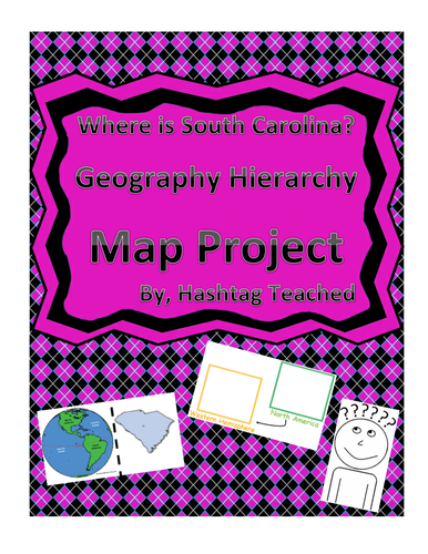
This worksheet allows students to cut out the bottom portion with the four images of South Carolina, Unites States, North America, and the Western Hemisphere and see the relationship between them. Students will then glue each image in the spaces provided on top. This easy and fun worksheet allows students to connect difficult concepts in a visual hands-on way. It can be easily adapted as independent work, a hook, group work or homework. Students will enjoy engage with this interactive project and will build conceptual understanding of geography while doing so!
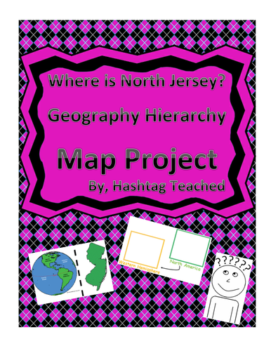
This worksheet allows students to cut out the bottom portion with the four images of New Jersey, Unites States, North America, and the Western Hemisphere and see the relationship between them. Students will then glue each image in the spaces provided on top. This easy and fun worksheet allows students to connect difficult concepts in a visual hands-on way. It can be easily adapted as independent work, a hook, group work or homework. Students will enjoy engage with this interactive project and will build conceptual understanding of geography while doing so!
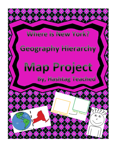
This worksheet allows students to cut out the bottom portion with the four images of New York, Unites States, North America, and the Western Hemisphere and see the relationship between them. Students will then glue each image in the spaces provided on top. This easy and fun worksheet allows students to connect difficult concepts in a visual hands-on way. It can be easily adapted as independent work, a hook, group work or homework. Students will enjoy engage with this interactive project and will build conceptual understanding of geography while doing so!
This worksheet allows students to cut out the bottom portion with the four images of North Carolina, Unites States, North America, and the Western Hemisphere and see the relationship between them. Students will then glue each image in the spaces provided on top. This easy and fun worksheet allows students to connect difficult concepts in a visual hands-on way. It can be easily adapted as independent work, a hook, group work or homework. Students will enjoy engage with this interactive project and will build conceptual understanding of geography while doing so!
This worksheet allows students to cut out the bottom portion with the four images of New Hampshire, Unites States, North America, and the Western Hemisphere and see the relationship between them. Students will then glue each image in the spaces provided on top. This easy and fun worksheet allows students to connect difficult concepts in a visual hands-on way. It can be easily adapted as independent work, a hook, group work or homework. Students will enjoy engage with this interactive project and will build conceptual understanding of geography while doing so!
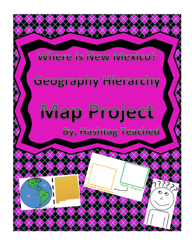
This worksheet allows students to cut out the bottom portion with the four images of New Mexico, Unites States, North America, and the Western Hemisphere and see the relationship between them. Students will then glue each image in the spaces provided on top. This easy and fun worksheet allows students to connect difficult concepts in a visual hands-on way. It can be easily adapted as independent work, a hook, group work or homework. Students will enjoy engage with this interactive project and will build conceptual understanding of geography while doing so!
This worksheet allows students to cut out the bottom portion with the four images of Nevada, Unites States, North America, and the Western Hemisphere and see the relationship between them. Students will then glue each image in the spaces provided on top. This easy and fun worksheet allows students to connect difficult concepts in a visual hands-on way. It can be easily adapted as independent work, a hook, group work or homework. Students will enjoy engage with this interactive project and will build conceptual understanding of geography while doing so!
This worksheet allows students to cut out the bottom portion with the four images of Montana, Unites States, North America, and the Western Hemisphere and see the relationship between them. Students will then glue each image in the spaces provided on top. This easy and fun worksheet allows students to connect difficult concepts in a visual hands-on way. It can be easily adapted as independent work, a hook, group work or homework. Students will enjoy engage with this interactive project and will build conceptual understanding of geography while doing so!
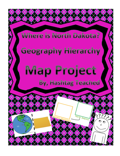
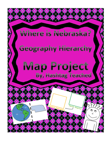
This worksheet allows students to cut out the bottom portion with the four images of Nebraska, Unites States, North America, and the Western Hemisphere and see the relationship between them. Students will then glue each image in the spaces provided on top. This easy and fun worksheet allows students to connect difficult concepts in a visual hands-on way. It can be easily adapted as independent work, a hook, group work or homework. Students will enjoy engage with this interactive project and will build conceptual understanding of geography while doing so!
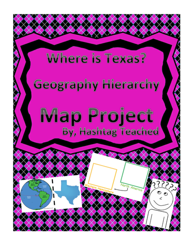
This worksheet allows students to cut out the bottom portion with the four images of Texas, Unites States, North America, and the Western Hemisphere and see the relationship between them. Students will then glue each image in the spaces provided on top. This easy and fun worksheet allows students to connect difficult concepts in a visual hands-on way. It can be easily adapted as independent work, a hook, group work or homework. Students will enjoy engage with this interactive project and will build conceptual understanding of geography while doing so!
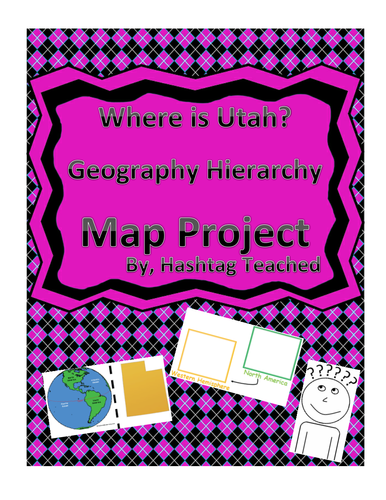
This worksheet allows students to cut out the bottom portion with the four images of Utah, Unites States, North America, and the Western Hemisphere and see the relationship between them. Students will then glue each image in the spaces provided on top. This easy and fun worksheet allows students to connect difficult concepts in a visual hands-on way. It can be easily adapted as independent work, a hook, group work or homework. Students will enjoy engage with this interactive project and will build conceptual understanding of geography while doing so!
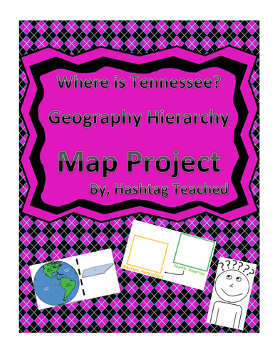
This worksheet allows students to cut out the bottom portion with the four images of Tennessee, Unites States, North America, and the Western Hemisphere and see the relationship between them. Students will then glue each image in the spaces provided on top. This easy and fun worksheet allows students to connect difficult concepts in a visual hands-on way. It can be easily adapted as independent work, a hook, group work or homework. Students will enjoy engage with this interactive project and will build conceptual understanding of geography while doing so!
Check out this simple brainstorm template in which student can list and identify the various characteristics of famous people. Students will then be prompted with the single question of "What will you do to practice these characteristics?"
This is a great hook into learning about famous people, a strong self-identification when talking about leadership, an application of identifying character traits and so much more. Please feel free to leave a comment in the feedback section, how you incorporated this in your classroom!
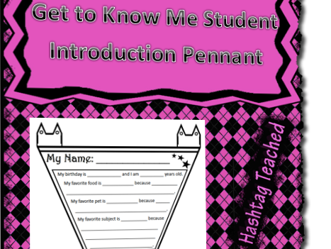
Looking to decorate your room and make it more of a welcoming environment that your students are a part of? Well check out this pennant which is meant to be cut out, strung together, and hung around a room. This highly structured template allows students to talk a bit about themselves, introduce themselves, and talk about their favorites. You can also check out my Pennant Variety Pack if you want a bit more flexibility with the design!
This tracking form reflects the traditional color system behavior system. It mimics the stoplight system of Red, Yellow, and Green do signify obvious behavior representations. Students will color in their color each day and then check the box that reflects the reason for their behavior. Students will either check they had a great day or can check one of the pre-listed options of components such as needs to work on staying focused, showing respect, etc.
There is a signature line at the bottom of each day (already set up for the week) in which parents can be accountable for daily behaviors. This serves as excellent documentation and tracking for interventions and response to misbehaviors as well as rewards for positive behaviors (PBIS).
Check out this simple and user friendly template that students can use to take notes on Natural Disasters. It is intended to guide a research project where students either seek their own knowledge on their internet or is supplemented with teacher instruction. Students will fill in a variety of natural disasters that have been pre-listed and then explain various components of them such as their description, their potential impact, their root causes and the safety measures that should be in place!
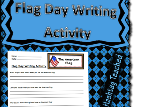
Celebrate Flag Day in style with this creative writing worksheet. There are eight questions in all, that prompt students to think about the colors and components of the flag, patriotic songs, key takeaways of prior learning and opinion pieces about the Pledge of Allegiance. This worksheet can supplement any Flag Day activity you already have, but will push students to think critically, write, and be creative!